Map Guy
Maps have always been cool to me. It may have been my first globe. The ones where the mountains were actually raised. The Social Studies teacher had those maps that rolled down from above the black boards. They had two circles. One for the each hemisphere. The one that I loved though was the US highway map. 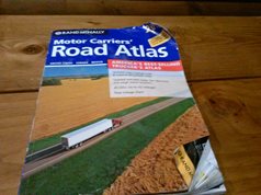 My dad had one in his office. You could get anywhere using this map. As a kid I thought that is was cool. I could run my finger along the highways and go anywhere.
Maps are still great. Sure, we have satellite technology. We have a TND and a GPS. Our smart phones can tell us how to get where we're going. To this day I will pull out my atlas and look. After more than 3,000,000 miles, I can pretty much tell you the route that I am going to take. Still, I will open up that atlas and check my route. My finger will run across the route. In my mind I am planning all of my stops. Back in the day I had a briefcase full of city street maps. That no longer makes the trip. Most of those maps have joined my old baseball cards, gone.
I will look up my route on the internet. I will zoom in on the stops. The satellite images are helpful. The one I 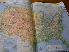 still look at most is the street map. What are the cross streets? What is the name of the street before my turn off? The front of the atlas still gets used. They will list load limited routes. Low clearances are listed too. So are the permanent weigh stations.
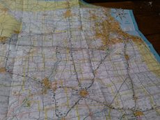
Folding up those old maps was a skill. It took patience. You had to follow the folds. Eventually many of my street maps got torn in half. They still worked. Plus they were easier to fold. Nostalgic, yes, these new TNDS are pretty awesome. They love to argue with me when I go my way. “Make a U turn as soon as possible.” NO! I am going my way. Take that you silly satellite.
 Then I noticed something. I was doing a mini study comparing HHG miles to TND miles. HHG miles averaged about 93% of TND miles. The cool thing was that I was consistently beating the TND. Then I heard another driver complaining about a certain brand of TND. It was taking him “all over the place”. I looked at him and said “use the map”. What? USE THE MAP! Dang kids!
Yes, I have a TND in my truck. I will occasionally whip out my smart phone and create a map of the area, or look up directions. If I am going some place new, I will almost always look up the routing. I will check out the satellite view of the area. Then, I will get out my atlas. You just can't beat a smart, experienced driver and a map.